Friday, September 29, 2006

Door County

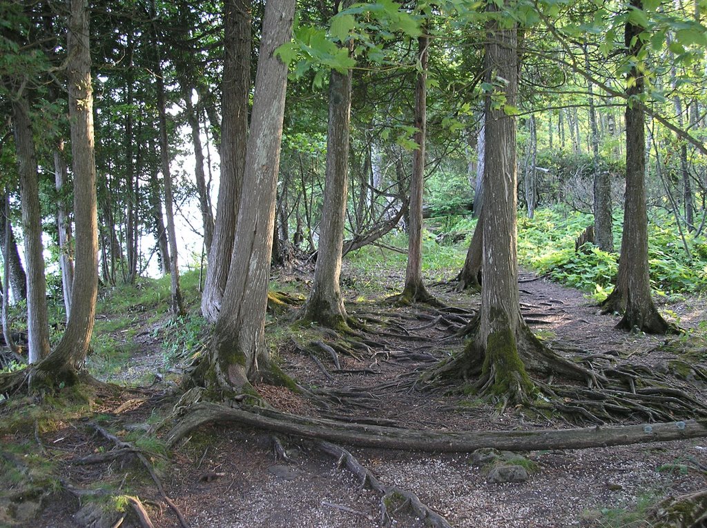
These were taken near Whitefish Dunes State Park in Door County, Wisconsin.


Above, A view of Lake Michigan


The state park isn't that impressive and the day that we visited the stink was awful. These photos are from just north of the park. This area has several walking trails that are great for day hikes. I've always liked the photo above. The entire trail has several cool views of the lake as well many interesting tree and root formations such as above.

Sunday, September 24, 2006

Godly Sight

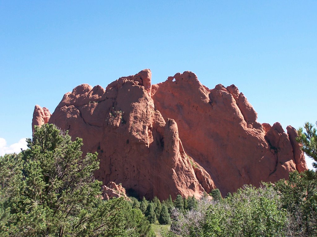
These two photos were taken in Garden of the Gods, located near Colorado Springs CO, during the summer of 2005. This was the first time visiting Garden of the Gods since I was 12 years old. It wasn't as impressive as I remembered. However, if in the area and you enjoy hiking without the hassle of carrying a lot of gear, the park provides several trails 1-3 miles long.


Wednesday, September 20, 2006

A WHALE OF A TIME

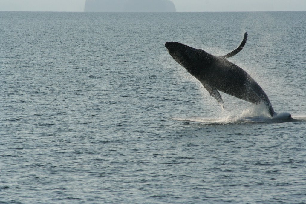
These pictures were taken in the Behn Canal, southwest of the Alaskan island that the town of Ketchikan is located on. Misty Fjord National Monument starts here.

The photos were taken by Aaron, my brother-in-law, one of America's last great white hunter/fishermen.


Sunday, September 17, 2006

STINGRAY CITY

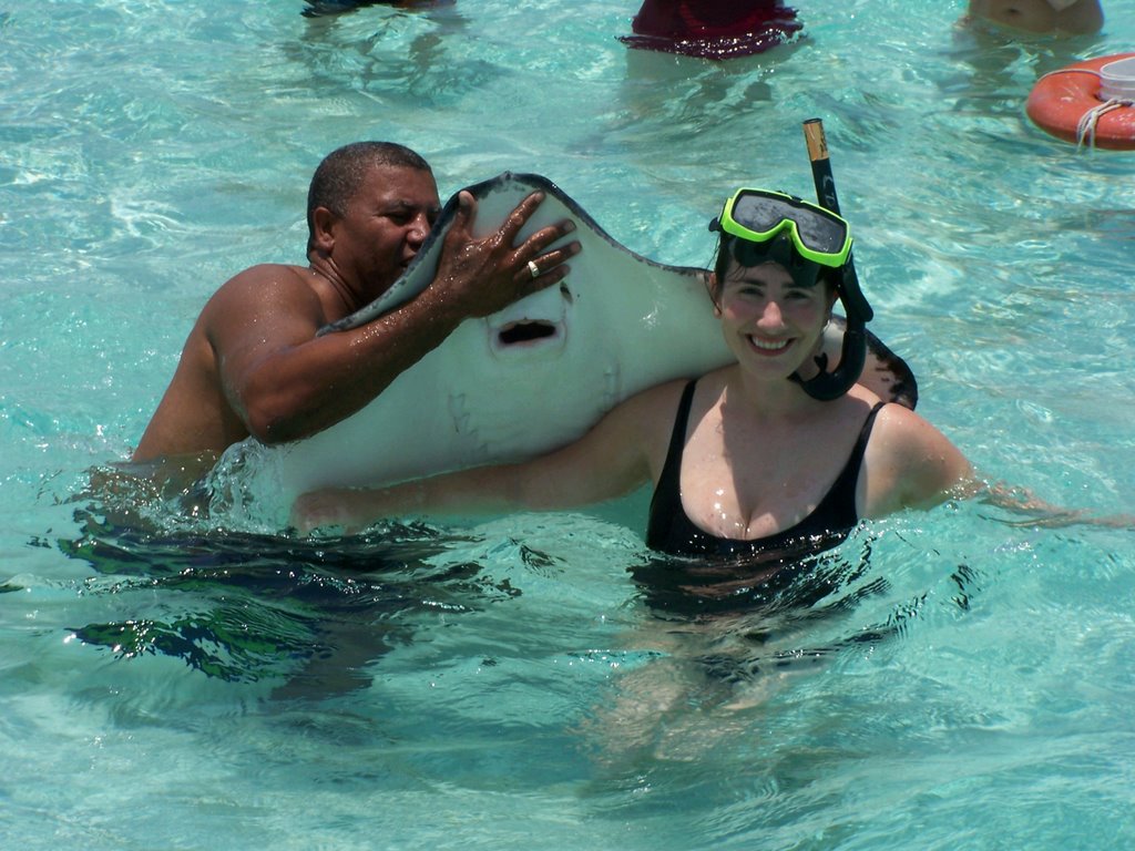
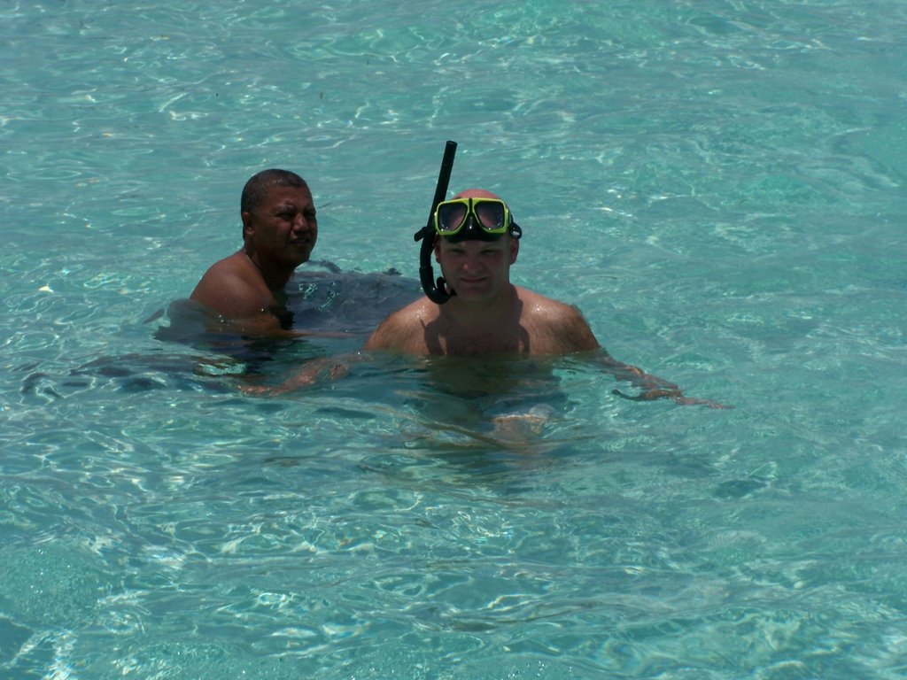
After Steve Irwin's death...Maybe this wasn't such a good idea.


Pictures taken at Stingray City of the Grand Cayman Islands.

Tuesday, September 12, 2006

Down & Dirty

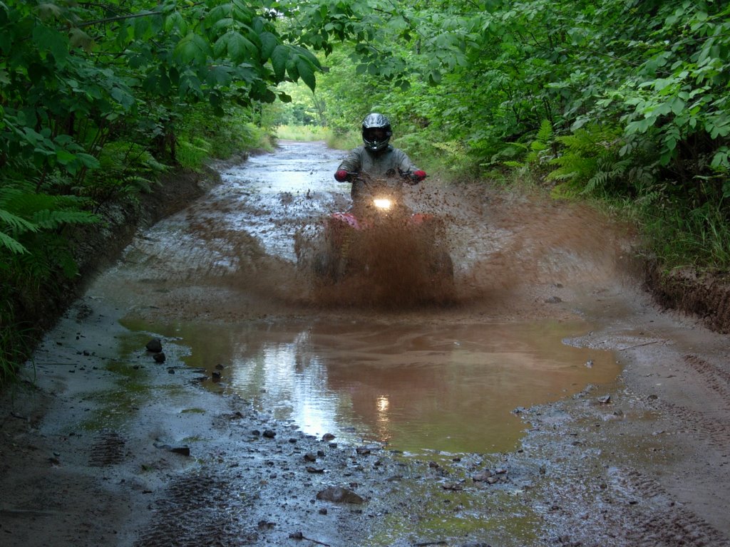
...Where's the soap?


Chad and Kristin with their ATVs near Bayfield WI. After seeing these pictures I can't wait to get muddy on the trails of northern Wisconsin.

Thursday, September 07, 2006

Training Wheels...Lives On

Although my trip is over, Training Wheels Not Included will live on. From now on this blog will show your cool outdoor photos.

Have you ever caught a huge musky? Email a photo and I will post it on the blog.

Have you caught a lot of small fish from a lake near Minong WI? Email me a photo...It will be posted.

Cool pictures of you on an ATV riding through a giant mud puddle? The photo will be posted.

Have you ever had a run in with a sting ray...lived to tell about it and have a picture to prove it? The photo will be posted.

...And of course...Photos of you and your bicycle will always get top billing.

Who's photo will be posted first?

The only pictures that won't be posted are those of thirty/forty-somethings re-living their youth near the Apple River. No one is interested :-)

Thursday, August 24, 2006

Coast to Coast

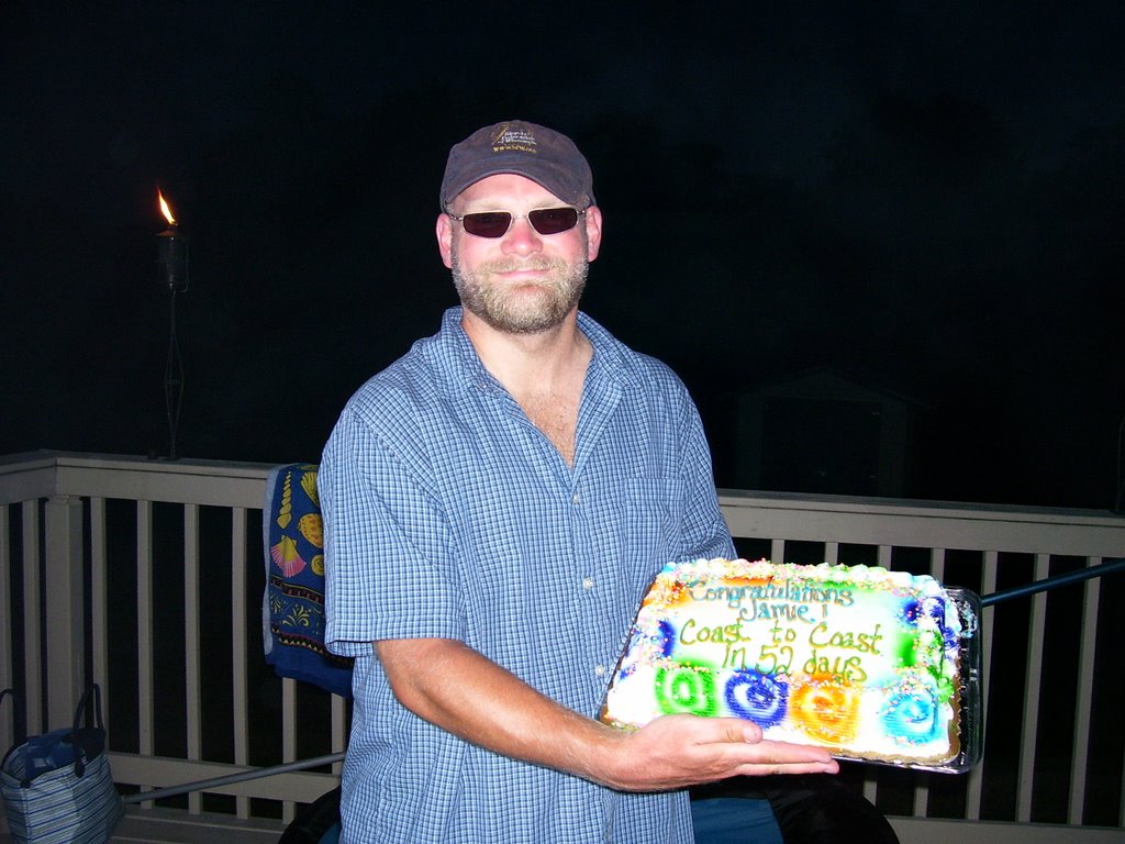
...In 52 days.


A week after I got home my wife threw me a welcome home/congratulations party. Over 30 family and friends showed up for food, drink, and stories.


Above...The trip is complete.


Above...The morning I started my trek across the states.

Friday, August 18, 2006

Not Quite the Pacific Ocean

The last 10 miles of my journey was tougher than what I thought. Anacortes is located on a peninsula that stretches into a bay that leads into the Strait of Juan de Fuca...which becomes the Pacific Ocean. My route took me up and down the bluffs of this bay. Ironically, it reminded of the hills of Virginia...50 days before.


Above: 8 miles to the finish line.


Above, Anaco Beach: The last 10 miles of the route took me past several marinas like above. The fishing boats and yachts were very impressive.


Above: Fidalgo Bay

Nearing the Finish Line

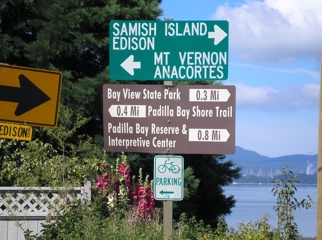
The first Anacortes sign seen was about 15 miles from the finish line.


The second picture was taken on the Padilla Bay Trail which ran along Padilla Bay. It was low-tide. The stink was awful with swarms of flies hovering over me when I stopped to rest and while I peddled.

The 3rd picture was taken from a large bridge that went over the Swinomish Channel...Roughly 11 miles from the finish line.

Wednesday, August 16, 2006

Skagit River: A Time of Reflection

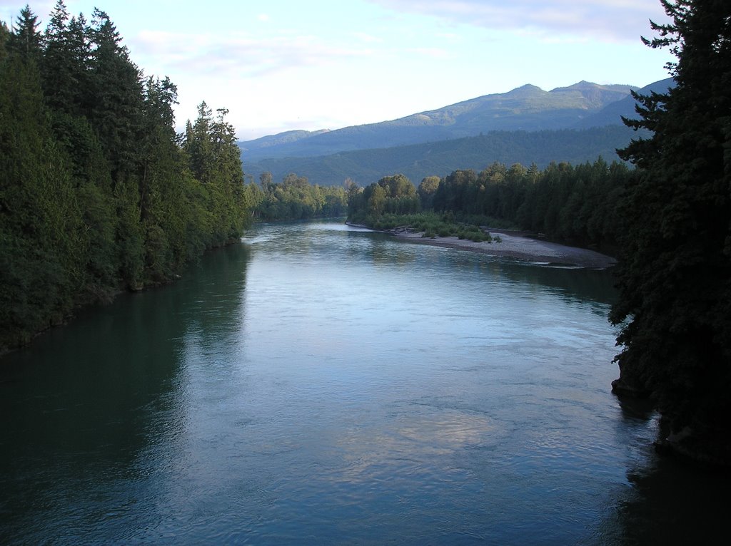
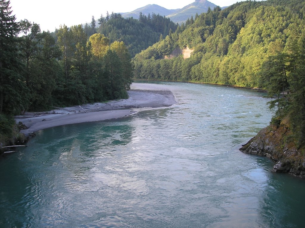
Crossing the Skagit River near Concrete WA ... Day 52, last day of the trip. Photos taken on a bridge.


The last day. I was up by 430AM and on the road by 5. About a mile south of Concrete I crossed the Skagit River. I was way ahead of schedule and was expecting to be finish by 1PM. I decided to wait on the bridge and contemplate my 52 day adventure. My thoughts turned to the past 10 days and the 6 passes that I peddled up and over. I continued to think about the desolate land of North Dakota and Montana and the winds that I fought each day. I thought about the 7 times that I crossed the Mississippi River and realized that I could have cut more than a few miles out of the trip if I would have only crossed the river 5 times. I shivered as I remembered the Blue Ridge parkway and the hail and sleet that I experienced. Then my thoughts came to the morning 52 days earlier. It didn't seem that long ago when I saw my Mom and Dad in my rear view mirror waving goodbye after following me for 2 miles in their mini-van.

My thoughts turned to Liz and all of the love and support she gave me in the months and weeks prior to the beginning of my trek. I then began to peddle...It was time to knock this mother out.

Not A Drop

Still fighting the wind down the west side of the Cascades.


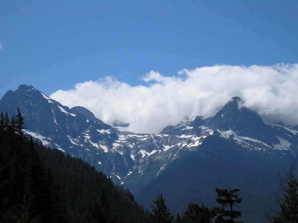
The 3 pictures above are of the same mountain peak. When peddling around a curve and seeing the top sight I thought for sure I was going to get wet. An hour later, when I took the 2nd photo I stopped peddling and got on my rain gear. Still, an hour after that when I took the 3rd picture I was trying to get down the mountain as fast as possible because of the potential rain storm.
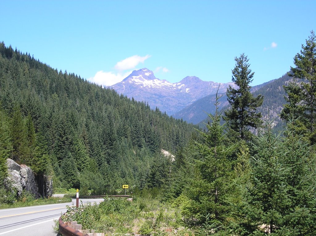
It never happened. The clouds seemed to stop at the top of the peak and simply rolled in place all afternoon. I was in Washington for 6 days and didn't see a drop of rain. The cycling Gods were very kind.

Lake Diablo: Part 2

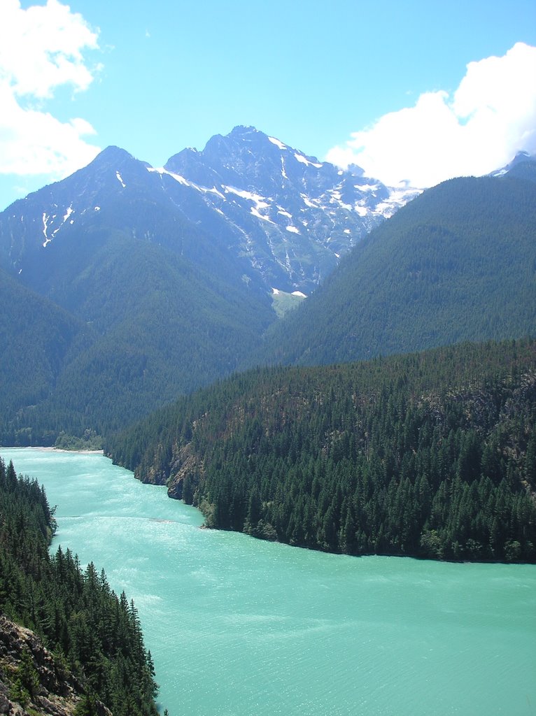
Lake Diablo was the most beautiful lake I saw on the trip. I will for sure visit it again in the future.


Diablo Lake & Ross Lake

Two beautiful lakes


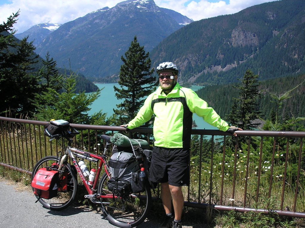
The top 2 pictures were taken at the Diablo Lake rest area. I was exhausted. The wind felt as if there were two hands on my chest constantly pushing me back. For lack of a better phrase, I felt "beat up and bruised". I waited at this rest area for over an hour.


The bottom 2 pictures were taken near Ross Lake...Still fighting the wind on the west side of the Cascades. Other than the wind and the slightly cool temps...It was a glorious day of bicycling.

On the Way Down: Part 2

More views of the west side of the Cascades.


Friday, August 11, 2006

WASHINGTON PASS: On the Way Down

Windy Day


I thought it would be all down hill after reaching Washington Pass...I was partly correct. There was a 35 mile down hill run of various grades. This may sound easy...But it wasn't. The winds coming up the mountain were fierce. If I tried coasting I could barely reach a speed of 10mph. Although the strongest was a headwind I was also getting hit from the left and right with strong winds. More times than I care to remember the wind would push my bicycle into the guard-rail...My front and back inside pannier would rub against the rail. My heart pounded.

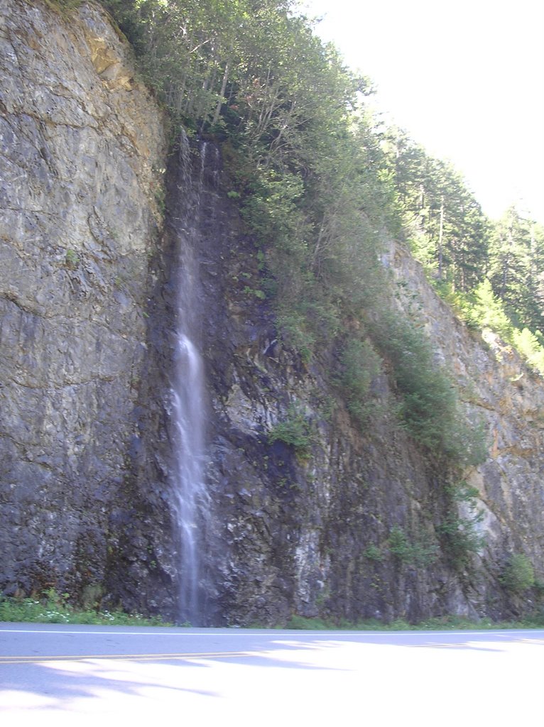
Above are a few pictures of the trip down. There were countless waterfalls like above falling on the hwy. Many times, because of the wind, mist and large drops from the falls would blow in my face. Sometimes the wind was so strong that the wind would carry the mist and drops from the opposite side of the road and I would get completely soaked.

Thursday, August 10, 2006

LOOK-OUT

TOP OF THE WORLD


The phrase "TOP OF THE WORLD" refers to 2 feelings that I had when I made it to the top of Washington Pass. The first refers to the height and scenery that I saw from this view point. Of almost 4000 miles the views that I saw at this point were the best of the trip. Secondly, the phrase refers to the feeling of accomplishment I felt of finishing the last pass. At this point it was around 11AM on the 2nd to last day. It was all downhill from this point. I thought the last day and a half would be simple. As I will explain in a future post...I WAS WRONG.

WASHINGTON PASS LOOKOUT: A week before reaching the Cascades I met several cyclists traveling east that praised the scenic wonders of the Washington Pass Lookout. To my dismay when I reached the top of the pass the road that went to the look-out was closed. There were two large gates blocking the road and there wasn't an explanation for the closure. I decided to break the law. I reached the gates and walked my bicycle around the closure and then peddled the mile to the look-out. When there, I was greeted by 5 National Forest workers that were remodeling a large welcome center. I said hello...They said hello...I continued to the look-out and took the above pictures.

Washington Pass

Finished the last pass. I was elated, relieved...I was HAPPY.


In the picture above there is a RV in the background. The bottom picture was taken on the other side of the RV.


Wednesday, August 09, 2006

Near the Top

Midway up Washington Pass


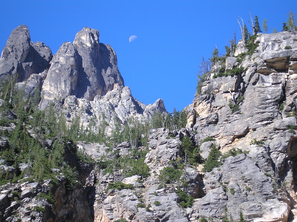
Picture Above: Moon-shot

The picture above was taken on a turn off.

Picture Above: While in Washington I spent most of my time peddling on Hwy 20. I peddled up the road above.


Although I was only on 3 hours sleep I must have been adrenalized knowing that this was the last climb of the trip because I peddled the first 8 and one-half miles without stopping.

The Cascades had several beautiful mountain landscapes.